Nguyen Van Hiep, Deputy Director of the Northern Hydrometeorological Station under the Department of Meteorology and Hydrology (Ministry of Agriculture and Environment), shared the latest updates on Wipha’s impact on the Hanoi area.
According to Mr. Hiep, the storm's center is expected to move inland over southern Hai Phong and northern Thanh Hoa between 10:00 AM and 3:00 PM on July 22. Starting from the evening of July 21, coastal areas from Quang Ninh to Nghe An will experience increasing winds of level 7-9, with storm centers reaching level 10-11 and gusts up to level 14.
Inland areas including Hai Phong, Hung Yen, Bac Ninh, Hanoi, Ninh Binh, and Thanh Hoa will see winds intensifying to level 6, with gusts up to levels 7-8.
Mr. Hiep noted that starting early July 22, Hanoi will begin experiencing the storm's wind and rain effects. The wind in Hanoi could reach level 5-6, with gusts of level 7-8.
“Particular attention should be paid to strong, localized winds occurring in small areas across Hanoi,” emphasized Mr. Hiep. “Besides widespread storm gusts, people must be cautious of intense thunderstorm winds.”
He further explained that wind speeds in Hanoi, especially around tall buildings, may be significantly stronger than those recorded at monitoring stations. Residents are urged to remain vigilant to avoid danger during stormy conditions.
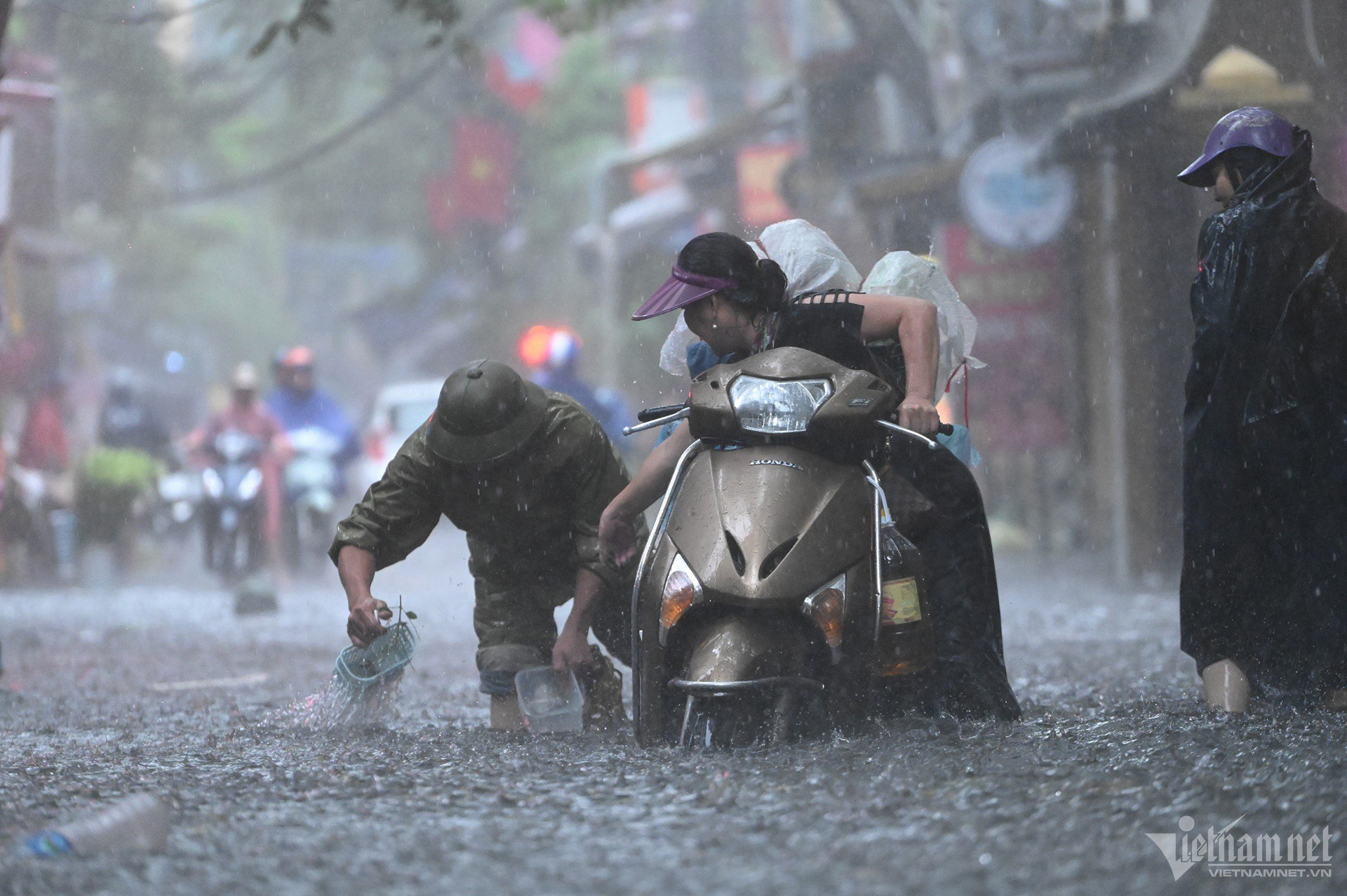
Regarding rainfall, Hanoi is expected to receive between 100-200mm of rain from July 21 to 23, with some areas possibly exceeding 300mm. Residents should be alert to the risk of flash flooding in low-lying areas due to intense, short-duration rainfall.
Urban and low-lying areas may experience flooding between 0.2-0.5 meters deep, with some places exceeding that. Flood durations are estimated to last 30 to 60 minutes.
However, Mr. Hiep cautioned, “This is the early to mid-rainy season. Atmospheric humidity remains high, and after the storm makes landfall, there is a high chance of post-storm rains. Unusual weather patterns are still possible. We will continue monitoring and providing updates for the public.”
On river flooding, Mr. Hiep added that current water levels are not yet critical. Most rivers are forecast to remain at warning level 1 during this storm, with some possibly reaching level 2.
Bao Anh