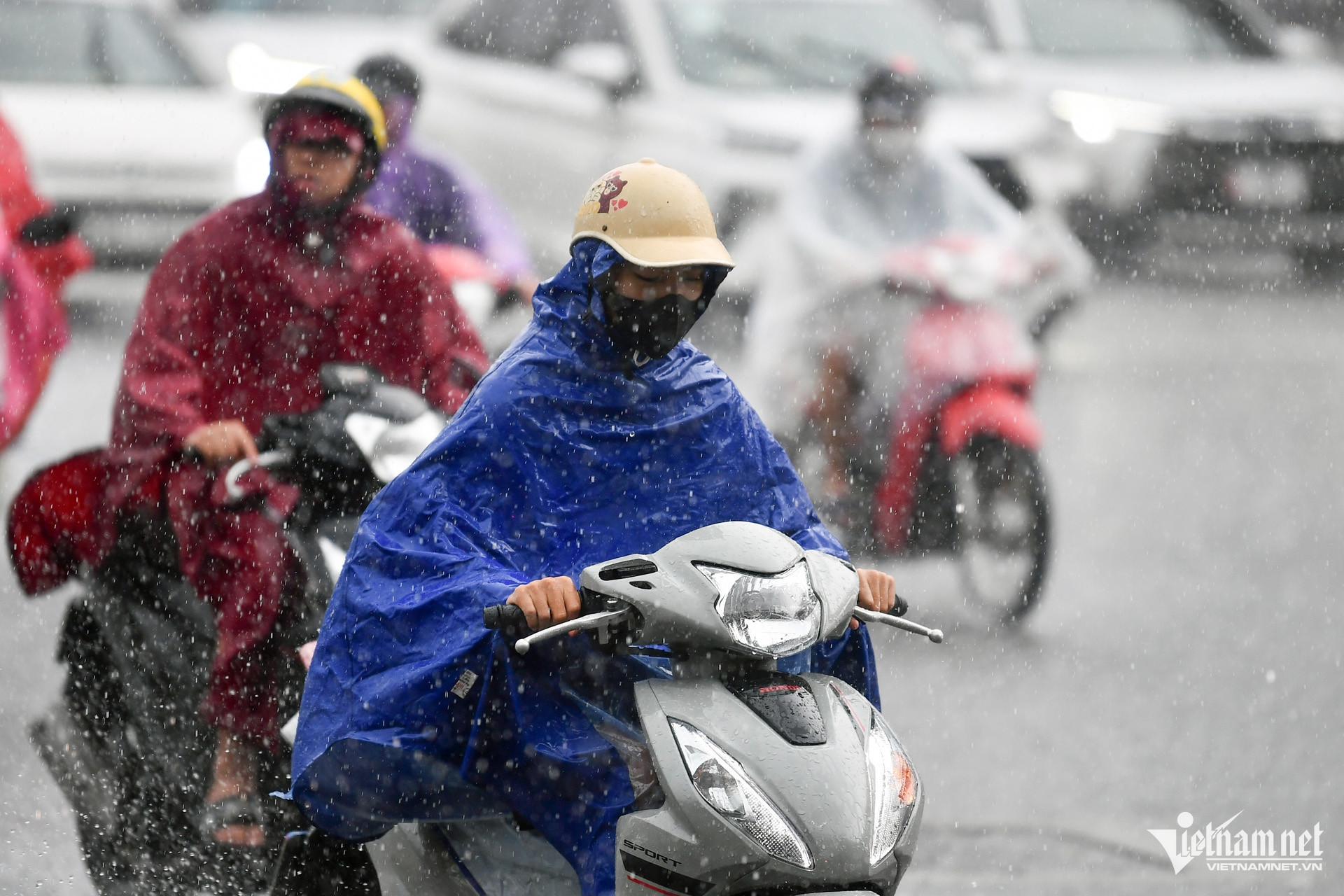
Due to the impact of Typhoon Wipha’s circulation, heavy to extreme rainfall is expected from July 21-23 in the Northeast, Red River Delta, Thanh Hoa, and Nghe An provinces, with some areas receiving over 600mm. The northern region is forecast to experience prolonged rain, increasing the risk of flash floods and landslides.
On the afternoon of July 20, the National Center for Hydro-Meteorological Forecasting (NCHMF) reported that as of 4:00 PM, the center of Typhoon Wipha was located in the northern section of the East Sea, about 560km east of Quang Ninh - Hai Phong. The storm had sustained winds of level 12 (118–133 km/h), with gusts reaching level 15. It was moving west at 20–25 km/h.
By 4:00 PM on July 21, the typhoon is expected to enter the northern Gulf of Tonkin, maintaining strength at level 11-12, gusting to level 15.
By 4:00 PM on July 22, the storm will likely make landfall along the coast from Hai Phong to Thanh Hoa, weakening to level 9-10, gusting to level 12.
By 4:00 PM on July 23, it is forecast to weaken further into a tropical depression over northern Laos.
The storm’s circulation, combined with a tropical convergence zone, will bring heavy to extremely heavy rain and thunderstorms from July 21-22 to the Northeast, Red River Delta, Thanh Hoa, and Nghe An, with rainfall ranging from 120-250mm, and locally exceeding 400mm.
Other areas in the northern region and Ha Tinh are expected to receive 70-150mm of rain, with localized amounts exceeding 200mm.
Heavy rainfall intensity (>150mm/3h) is a significant concern.
From the night of July 22 to July 23, the Northeast, Red River Delta, Thanh Hoa, and Nghe An are forecast to receive another round of rain, ranging from 60-100mm, and locally over 200mm. Other areas in the North and Ha Tinh may receive 30-60mm, locally over 100mm.
Total rainfall between July 21-23 is projected to reach 200-350mm in the Northeast, Red River Delta, Thanh Hoa, and Nghe An, with some areas exceeding 600mm. In other parts of the North and Ha Tinh, rainfall will generally range from 100-200mm, and locally over 300mm.
The meteorological agency has reiterated the warning of rainfall with intense rates (>150mm/3h).
From July 24-25, the North and North Central regions may continue to experience moderate to heavy rain and thunderstorms, with some areas receiving extremely heavy rainfall. From July 26-27, scattered showers and thunderstorms are expected, with localized downpours. From July 28 onward, occasional showers and thunderstorms are forecast.
For now, on the evening of July 20, the North and North Central regions will see scattered showers and thunderstorms, with some areas experiencing heavy rain. In particular, the Northeast and Red River Delta are expected to receive moderate to heavy rainfall (20-40mm, locally over 80mm). The Central Highlands and southern regions will also have scattered rain and thunderstorms, with some areas receiving 10-30mm, and locally over 70mm.
The meteorological agency warns of possible tornadoes, lightning, hail, and strong gusts during thunderstorms. Localized heavy rains may cause flash floods in small rivers and streams, landslides on steep slopes, and flooding in low-lying areas.
Authorities and residents are urged to closely monitor official weather updates and proactively prepare for extreme weather events.
Bao Anh