A tropical low-pressure system over the East Sea is forecast to strengthen into a tropical depression, with a 60-70% chance of becoming a storm around June 11–12. Meanwhile, northern Vietnam is expected to face continued heavy rain from this evening through tomorrow morning.
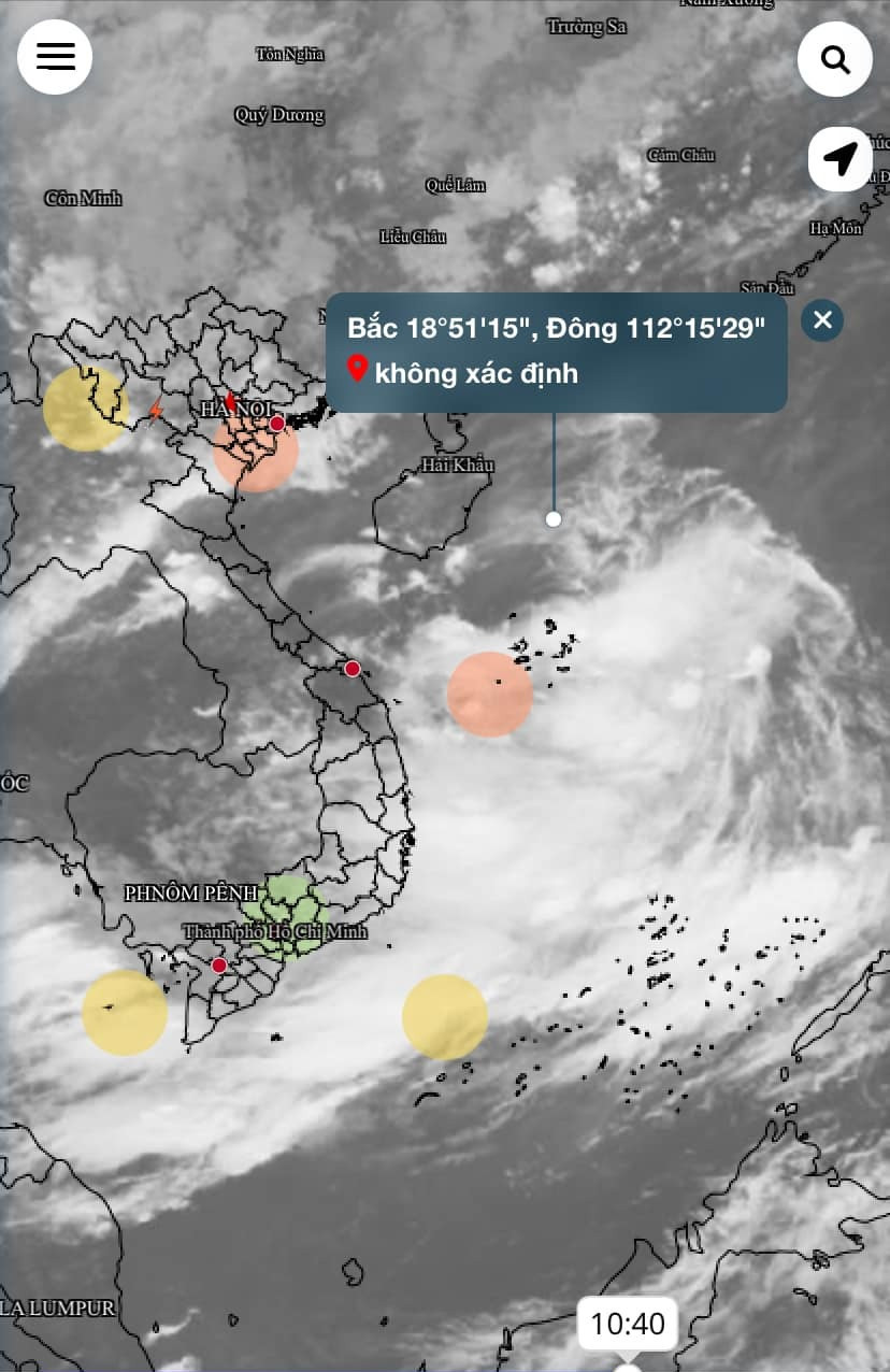
According to the National Center for Hydro-Meteorological Forecasting, as of 7 a.m. on June 9, a low-pressure trough stretching across 15–18°N latitude is linked to a tropical low located around 17–18°N and 117.2–118.2°E in the northern East Sea.
This system is causing strong showers and thunderstorms across northern, central, and southern sections of the East Sea, including the Hoang Sa (Paracel) and Truong Sa (Spratly) archipelagos, and waters from Binh Thuan to Ca Mau, Ca Mau to Kien Giang, and the Gulf of Thailand. Gale-force winds have been recorded at Huyen Tran station, reaching level 8–9 (gale to strong gale).
High chance of development into a tropical depression and storm
Meteorologists say the system is moving slowly westward. There is a 90% chance it will strengthen into a tropical depression within 24 hours and a 60-70% chance of becoming a tropical storm between June 11 and 12. Authorities advise the public to follow updates closely.
Rain and thunderstorms are forecast to persist across affected maritime regions today and tonight. In the northern Gulf of Tonkin, scattered showers and thunderstorms are expected, with the potential for waterspouts, strong gusts of level 6–7, and waves exceeding 2 meters.
In waters from Ninh Thuan to Ca Mau and across the central and southern East Sea (including the Truong Sa Islands), southwesterly winds of level 5–6, gusting up to level 7–8, are expected. Seas will be rough with waves from 1.5 to 3 meters high. All vessels in these areas are at risk due to high waves and strong winds.
Torrential rains pound northern Vietnam
Due to the active tropical trough running northwest to southeast across central Vietnam and the East Sea, coupled with a moderate-strength southwest monsoon, heavy rain is widespread in both northern and southern regions of Vietnam.
Overnight and into this morning, rainfall exceeded 70mm in multiple locations: Lung Ha (Yen Bai) recorded 115.2mm, Yen Hoa (Tuyen Quang) 87.8mm, and Vinh Phuc (Ha Giang) 75.2mm.
From this evening to the morning of June 10, the northern mountainous and midland regions are forecast to experience moderate to heavy rain, with localized downpours potentially exceeding 150mm. Rainfall will average 30–70mm in many areas.
The Red River Delta and Thanh Hoa province will see scattered thunderstorms, with rainfall ranging from 20–40mm, and some areas expected to exceed 80mm. Localized rainfall intensities may surpass 100mm within 3 hours.
Elsewhere, the Central Highlands and southern Vietnam will also see moderate to heavy showers and thunderstorms this afternoon and evening, with localized rainfall exceeding 70mm. The south-central region will see lighter rain, typically 10–30mm, but some areas may receive over 50mm.
Thunderstorms in all regions carry the risk of tornadoes, lightning, hail, and strong winds. Prolonged heavy rainfall may cause flooding in low-lying and urban areas, flash floods in small rivers and streams, and landslides on steep slopes.
Bao Anh