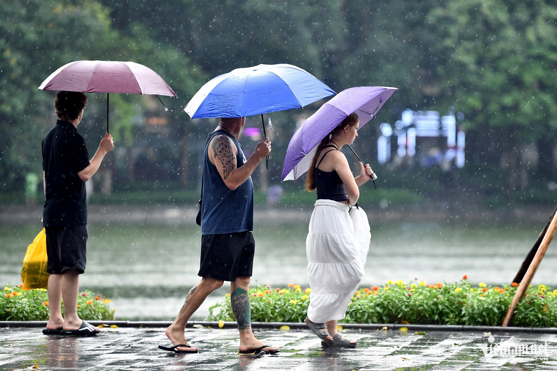
Scattered showers and thunderstorms have already hit the Northwest and Viet Bac regions, with some areas experiencing heavy to extremely heavy rainfall. From 7 p.m. on June 6 to 7 a.m. this morning (June 7), Bac Quang in Ha Giang saw 162mm of rain, while Thach Lam in Cao Bang recorded 62.6mm.
According to the National Center for Hydro-Meteorological Forecasting, more showers and scattered thunderstorms are expected across the northern mountainous and midland regions tonight, with rainfall ranging from 15-30mm, and some areas possibly exceeding 70mm.
The South Central Coast, Central Highlands, and southern provinces are also forecast to see showers and storms this evening, with some localized areas receiving 20-40mm of rain, and others over 80mm.
Thunderstorms may bring tornadoes, lightning, hail, and strong gusts. Intense rainfall could trigger flash floods in small rivers and streams, landslides on slopes, and flooding in low-lying areas.
Weather systems and regional outlooks
Meteorological centers in the southern and Central Highlands regions report that an intertropical convergence zone stretching from Central Vietnam to the central East Sea is developing from ground level to the 700mb pressure level. It may connect with a developing tropical cyclone near eastern Philippines. Meanwhile, the southwest monsoon over southern Vietnam is currently mild to moderate but is expected to strengthen in the coming days.
These evolving systems are driving unstable weather patterns nationwide, bringing a new rain spell in the north and persistent rain across the Central Highlands and southern regions.
National forecast from June 7–13
Northern Vietnam:
June 7–8: Sunny with localized heat, especially in the delta and midlands where highs reach 35–36°C, possibly exceeding 36°C. Rain and scattered thunderstorms expected in the evening and at night, especially in mountainous areas.
Evening of June 8 to morning of June 10: Scattered showers and thunderstorms, locally heavy. Heat is expected to subside in delta and midland areas from June 9.
June 10–13: Generally sunny with some showers and thunderstorms in the evening.
Central Vietnam:
North and Central Central Coast: From June 7–9, hot to very hot weather with occasional showers and storms in the evening. From June 10–13, temperatures remain high with some areas experiencing heat.
South Central Coast: From June 7–13, sunny during the day with scattered thunderstorms in the evening and at night. Some places may receive heavy rain.
From June 7–8, areas from Thanh Hoa to Phu Yen may experience highs of 35–37°C, with some areas exceeding 38°C and relative humidity around 50–55%. Heat intensity will ease from June 10.
Central Highlands and Southern Vietnam:
June 7–11: Moderate to heavy rain and scattered thunderstorms expected, mostly in the afternoon and evening.
June 12–13: Some showers and thunderstorms during the day, with scattered rain and storms in the evening.
Hanoi:
June 7–8: Hot during the day, with a chance of showers and thunderstorms in the evening.
June 9 to morning of June 10: Scattered rain and thunderstorms, some locally heavy.
June 10–13: Mostly sunny with isolated showers in the evening.
Ho Chi Minh City:
In the next 1–2 days, moderate to heavy rainfall is expected, totaling 30–80mm, with some areas exceeding 80mm.
From June 9–11, continued moderate to heavy rainfall is forecast, with total rainfall reaching 150–200mm in some areas, even more in others.
Severe weather such as tornadoes, lightning, hail, and gusty winds may accompany thunderstorms across affected areas.
Tropical cyclone outlook
From June 11–13, there is a 50–60% chance that a tropical cyclone will develop over the eastern part of the northern and central East Sea.
A tropical cyclone is a spinning wind system (with diameters up to several hundred kilometers) formed over tropical seas, with winds converging counterclockwise into its low-pressure center. It often brings rain, thunderstorms, and sometimes tornadoes.
A tropical depression is a weak tropical cyclone with sustained winds of 39–61 km/h (level 6–7 on Vietnam’s scale). A tropical storm has winds of 62 km/h or more (level 8+). If wind speeds reach 89–117 km/h (level 10–11), it is classified as a strong storm; from level 12–15, it's considered a very strong storm; above level 16, it is categorized as a super typhoon.
Bao Anh