A low-pressure system currently developing east of the Philippines could intensify into a tropical storm and enter the East Sea within the next two to three days, raising the risk of heavy rain across northern Vietnam.
On July 16, the National Center for Hydro-Meteorological Forecasting reported that a low-pressure zone over the eastern Philippines had strengthened into a tropical depression earlier this morning.
By 7:00 AM, the center of the depression was located more than 1,000 kilometers southeast of Luzon Island in the Philippines. Winds near the center were measured at level 6 (39–49 km/h), with gusts reaching level 8. The system was moving slowly northwest at about 5–10 km/h.
Forecast models suggest that in the next 1–2 days, the depression will continue on its west-northwest path and could strengthen into a storm.
Of particular concern is that after forming into a storm near northern Luzon, the system is likely to pass over northern Luzon and move into the East Sea by the weekend, between July 19–20.
Forecast remains uncertain
The meteorological center cautioned that the system is still in its early stages and not yet officially classified as a storm. Atmospheric conditions such as the southwest monsoon and subtropical high pressure remain unstable, making the storm’s trajectory and intensity difficult to predict.
If it becomes a storm and enters the East Sea, there's a 50–60% chance it will track west-northwest toward the northern Gulf of Tonkin in the coming days.
Potential for widespread heavy rain in the North
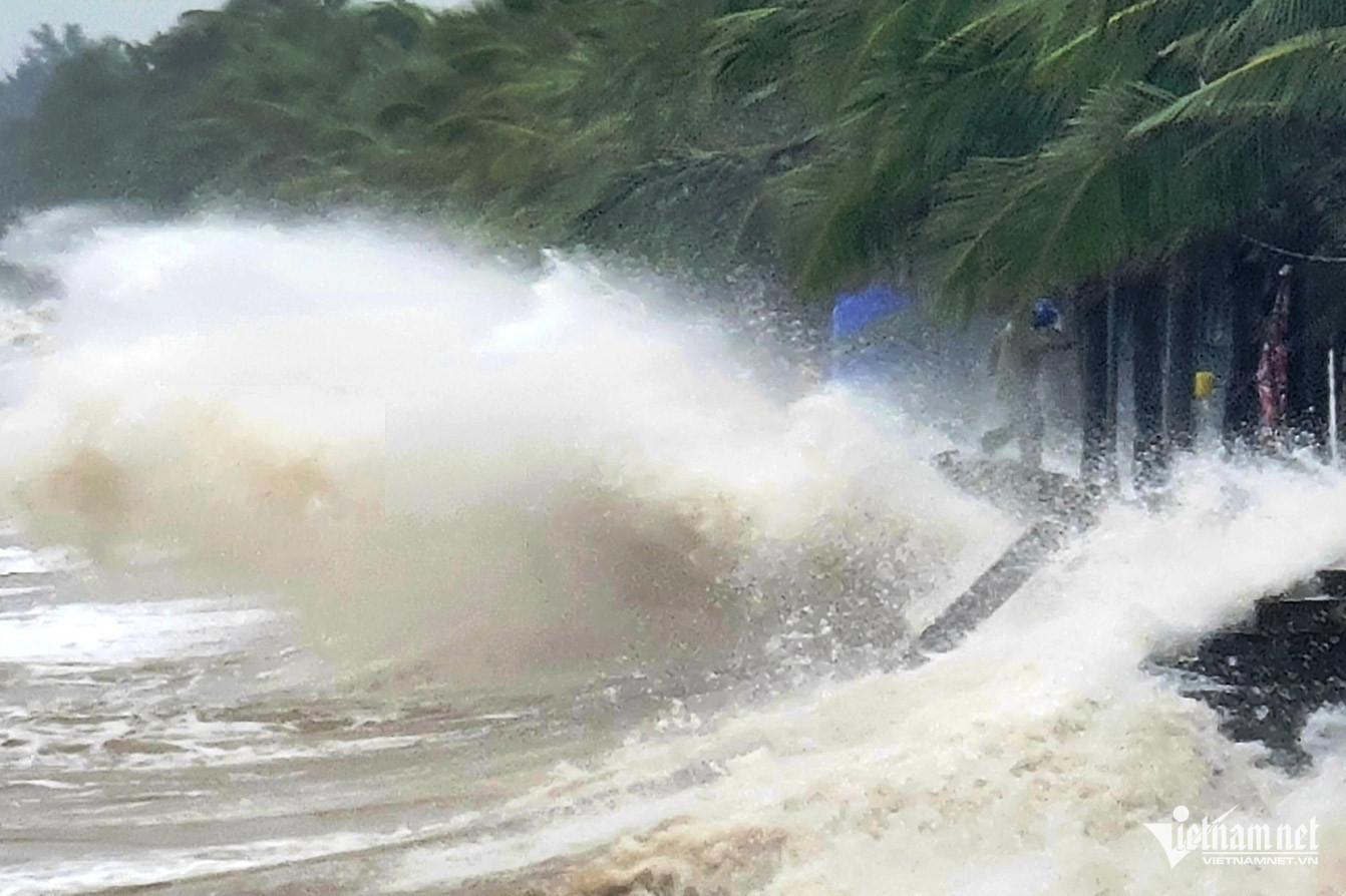
Due to the influence of an intertropical convergence zone and the tropical depression or storm (if it reaches the East Sea), strong winds, high waves, and rough seas are expected over the East Sea - including around the Hoang Sa (Paracel) and Truong Sa (Spratly) archipelagos - starting July 19–20.
Should the storm take a west-northwest route toward mainland Vietnam, there's a risk of widespread heavy rainfall across northern provinces and the central region from Thanh Hoa to Nghe An, likely between July 20 and 25.
However, the extent and severity of the rain will depend heavily on the storm’s actual path and strength, which remain uncertain at this stage.
The National Center for Hydro-Meteorological Forecasting is closely monitoring the situation and will issue timely updates to support emergency planning and response efforts by relevant authorities.
Weather officials advise coastal agencies, fishermen, and those working at sea to remain alert to updates, prepare appropriate response plans, and be ready to act quickly in case of hazardous developments.
Bao Anh