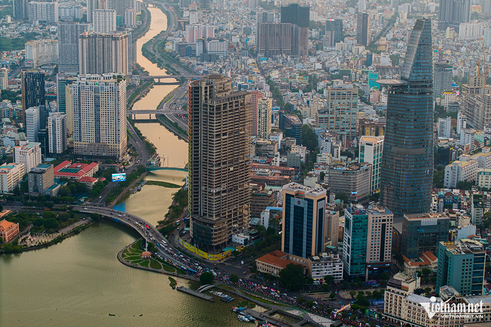
The new master plan for Ho Chi Minh City through 2040, with a vision to 2060, is set to serve as the foundation for integrating the city with Binh Duong and Ba Ria-Vung Tau. City leaders hope this merger will create a mega-urban area ranked among the world’s most livable.
On June 25, the Ho Chi Minh City People’s Committee held a conference to announce the city’s updated master plan for 2040, with a long-term vision toward 2060. The hybrid event was broadcast across 168 locations.
At the conference, Deputy Chairman of the Ho Chi Minh City People’s Committee, Bui Xuan Cuong, noted that after more than 10 years implementing the original master plan approved by the Prime Minister, adjustments were necessary to accommodate socio-economic changes.
The revised plan emphasizes a polycentric urban model that fosters creativity, high interaction, and knowledge-based, high-tech economic development. It promotes regional and international connectivity through public transport-oriented development, while preserving the city’s diverse architectural, landscape, and ecological heritage-particularly its distinctive river and coastal identity. The plan also prioritizes climate change adaptation.
Bui Xuan Cuong emphasized that the revised master plan will be the legal basis for promptly developing subzone and detailed plans, guiding investment approvals and urban development management for residents, businesses, and society. Moreover, it sets the groundwork for future planning integration as Ho Chi Minh City prepares to merge with Binh Duong and Ba Ria-Vung Tau under national administrative restructuring.
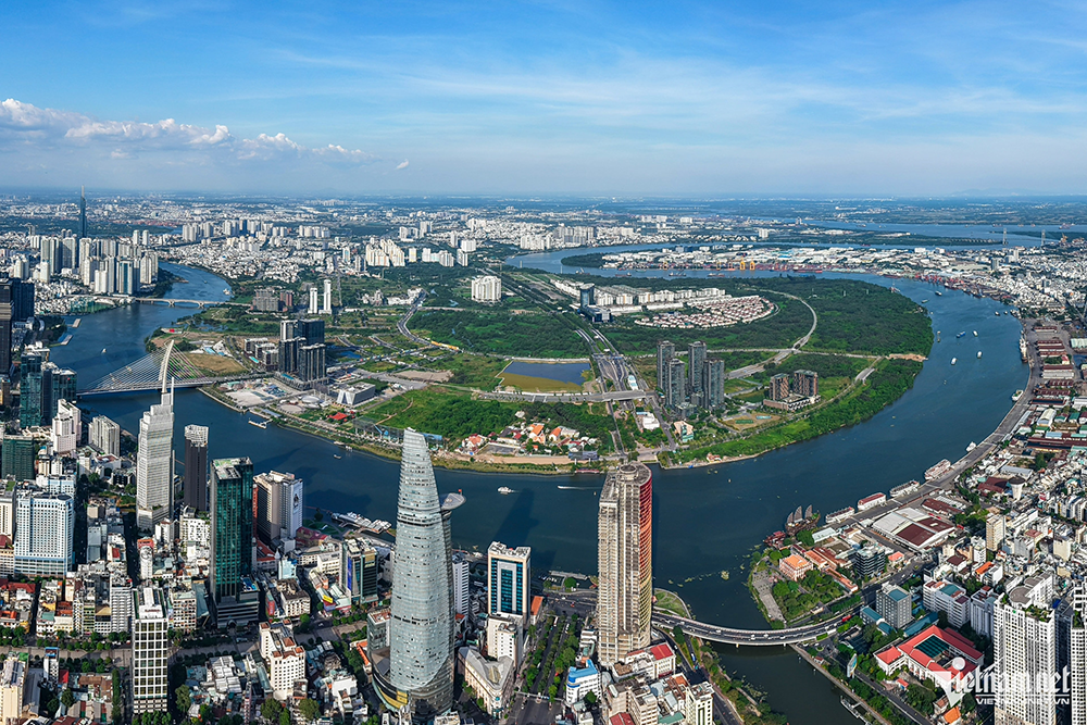
Chairman Nguyen Van Duoc affirmed the city’s ambition to completely restructure its development landscape, creating a mega-urban area uniting three of Vietnam’s most dynamic economic regions: Ho Chi Minh City, Ba Ria-Vung Tau, and Binh Duong. This new urban hub aims to become a top financial, high-tech industrial, and maritime economic center in Southeast Asia, with aspirations to join the world’s top 100 most livable cities.
According to the plan, Ho Chi Minh City’s urban structure will be organized into six zones, each integrated with public transportation systems:
Central urban zone: Area inside Ring Road 2 and north of Doi and Te canals
Northern zone center: Intersection of Ring Road 3 and National Route 22 to the Moc Bai - HCMC Expressway
Western zone center: Tan Kien area
Southern zone center: Expanded Phu My Hung area
Southeastern zone center: Can Gio marine urban area
Thu Duc City center
Each zone will be designed as a multifunctional area that offers quality employment opportunities and livable environments while acting as regional, national, and international hubs linked to transit-oriented development (TOD) frameworks.
Tran Chung