The proposed merger between Quang Ngai and Kon Tum is set to do more than simply redraw administrative boundaries. It is a strategic move aimed at urban restructuring and optimizing regional development by connecting the Central Highlands with the coast, forests with the sea, and untapped potential with thriving markets.
According to Resolution No. 60 from the 11th Central Committee Conference, Kon Tum is expected to be merged with Quang Ngai under the name "Quang Ngai Province," with the political-administrative center located in the current Quang Ngai capital.
Doubling down on advantages
Kon Tum spans nearly 10,000 square kilometers, largely mountainous, and boasts strengths in agriculture and forestry. In 2024, its total state budget revenue reached approximately 4.425 trillion VND (about $172 million), with an estimated economic scale of 41 trillion VND ($1.6 billion).
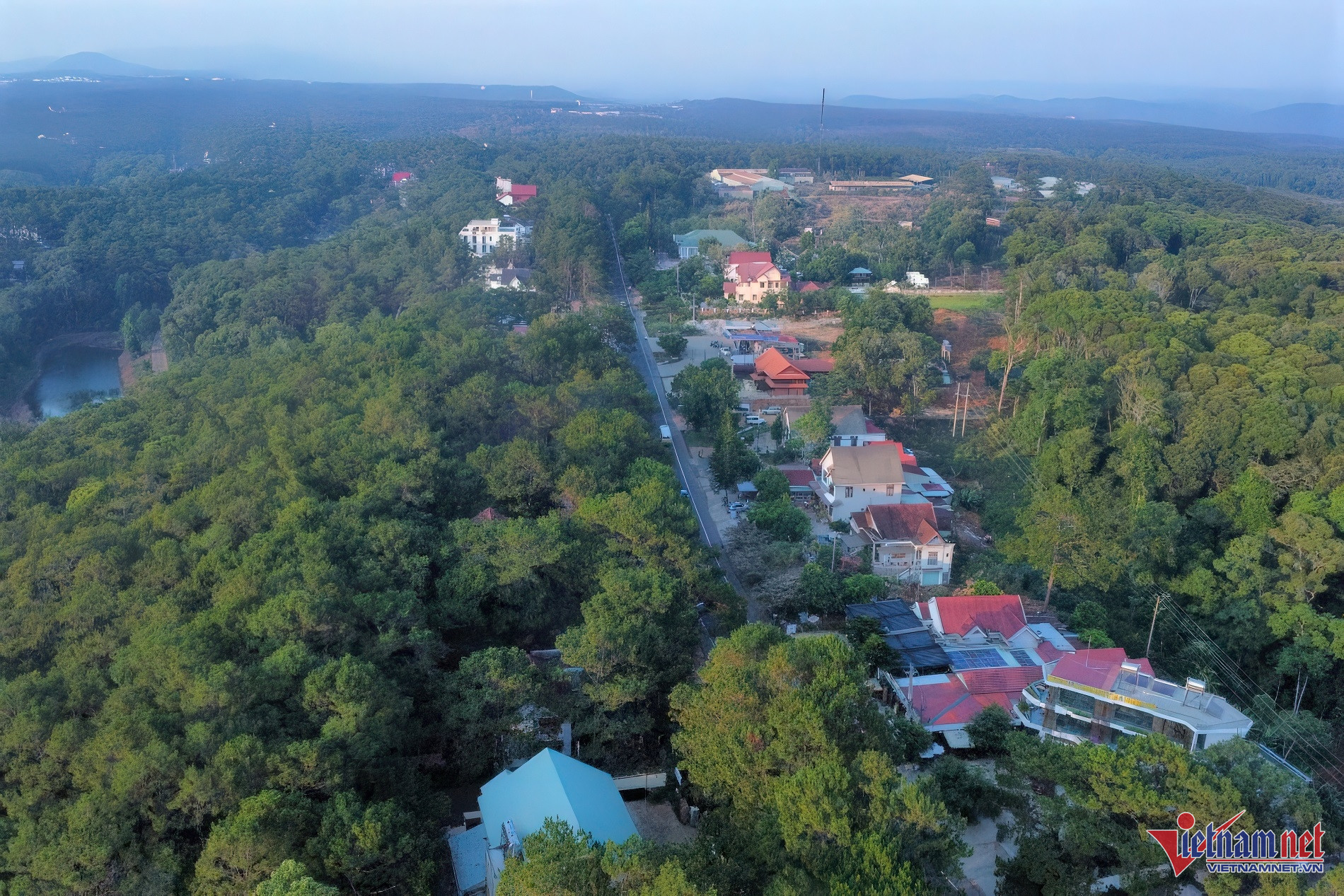
Strategically located in northern Central Highlands near the Indochina Triangle (Bo Y International Border Gate), Kon Tum has long been dubbed a "mountain oasis." However, its lack of infrastructure - no airport, no railway, and no seaport - means its economy depends entirely on road transport, limiting its attractiveness to investors and hindering tourism and logistics.
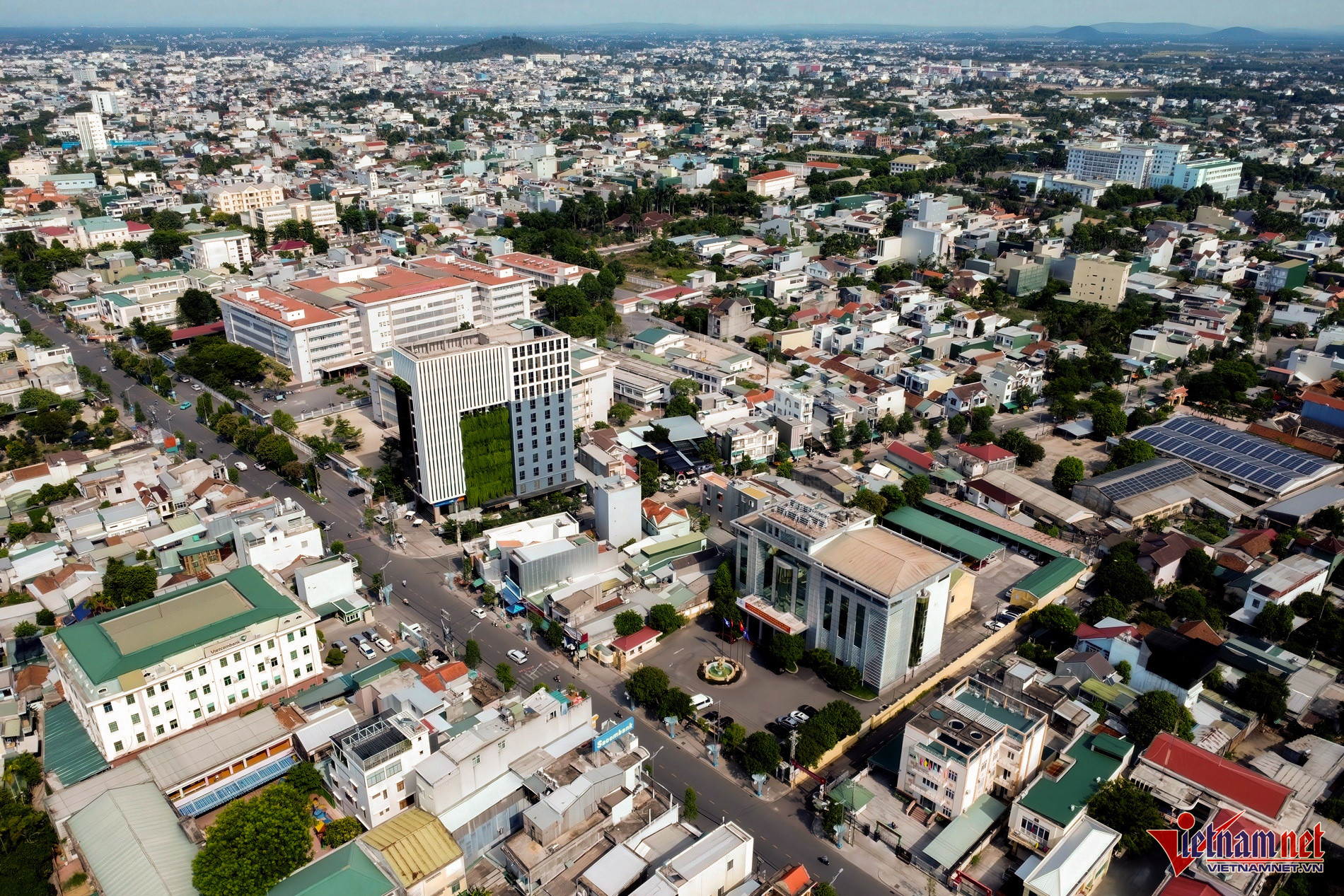
By contrast, neighboring Quang Ngai spans just over 5,000 square kilometers with a population of 1.5 million. It possesses major infrastructure assets such as the deep-water port of Dung Quat, an extensive network of industrial zones, National Highway 1A, the North-South Expressway, and railway connections. This gives Quang Ngai a strong foothold in import-export and industrial development.
Located in the Central Key Economic Region, Quang Ngai consistently ranks among Vietnam’s top provinces for budget revenue and foreign investment. In 2024, its budget revenue reached nearly 30.2 trillion VND (about $1.17 billion), with an economic scale of approximately 133 trillion VND ($5.2 billion).
Merging these two provinces would create a new development model that synergizes their strengths. What Kon Tum lacks, Quang Ngai offers - and vice versa.
The new Quang Ngai Province would span 14,832 square kilometers, making it the sixth-largest in Vietnam, and possess both highland and coastal zones, expressways, deep-water ports, agriculture, industry, and tourism potential.
It would also be uniquely positioned with both a coastline along the East Sea and borders with Laos and Cambodia - ideal for boosting the marine economy, cross-border trade, and national defense.
In the long term, Quang Ngai could emerge as a central hub connecting the Central Highlands, the coast, and the Vietnam-Laos-Cambodia Development Triangle.
Expanding the development horizon
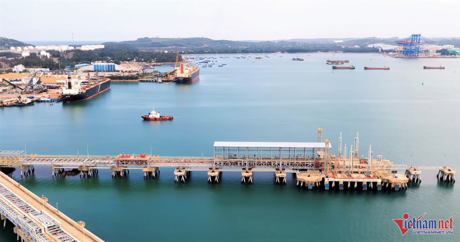
The merger will enable a seamless value chain - from Kon Tum’s raw materials (agriculture, medicinal herbs, plantation timber), through processing facilities in Quang Ngai, to export via Dung Quat Port - eliminating the need for transshipment and reducing logistics costs while enhancing competitiveness.
Residents of Kon Tum, especially those near Quang Ngai, will gain easier access to healthcare, education, employment, and modern infrastructure in Quang Ngai City.
Tourism will also benefit greatly. Linking Mang Den - dubbed “the second Da Lat” - with destinations like Ly Son Island, My Khe Beach, and Sa Ky Port will produce a unique “forest-sea-island” tourism model, attracting visitors and creating local economic benefits.
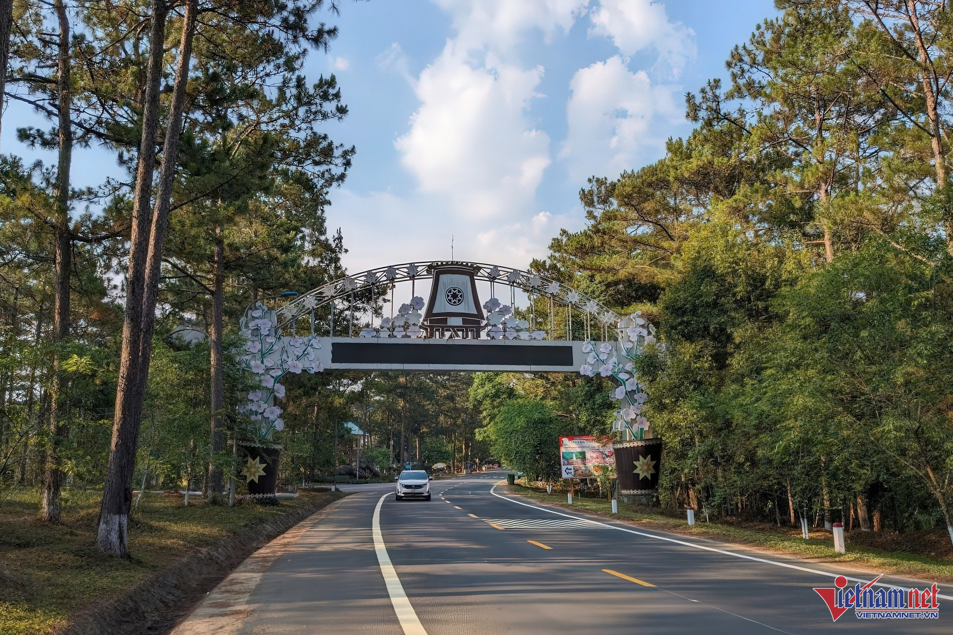
Currently, Quang Ngai’s provincial center lies about 180 kilometers from Kon Tum, connected mainly by National Highway 24 - a 170-kilometer arterial road now slated for upgrades to meet rising transportation needs.
A major boost is expected from the upcoming Quang Ngai - Kon Tum expressway. This 136-kilometer, four-lane project will cost over 35 trillion VND (about $1.36 billion) and is scheduled to begin before 2030.
The expressway will start at the North-South Expressway junction in Duc Pho (Quang Ngai), pass through Ba To District (Quang Ngai) and Kon Plong and Kon Ray Districts (Kon Tum), and end at the western North-South Expressway in Kon Tum City.
Once completed, the expressway will eliminate current infrastructure bottlenecks and bring to life the Bờ Y - Kon Tum - Mang Den - Quang Ngai economic corridor, linking the Vietnam-Laos-Cambodia border triangle with Dung Quat Port.
The project will serve as a powerful interregional economic driver, acting as the backbone for boosting trade, agriculture, industry, tourism, and logistics between the Central Highlands and Central Vietnam - paving the way for Mang Den to become a national eco-tourism center.
Ha Nam - Nguyen Hien